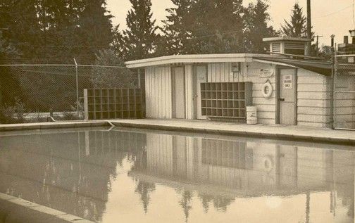
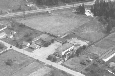
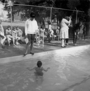
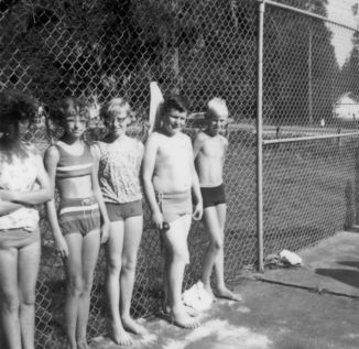
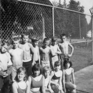
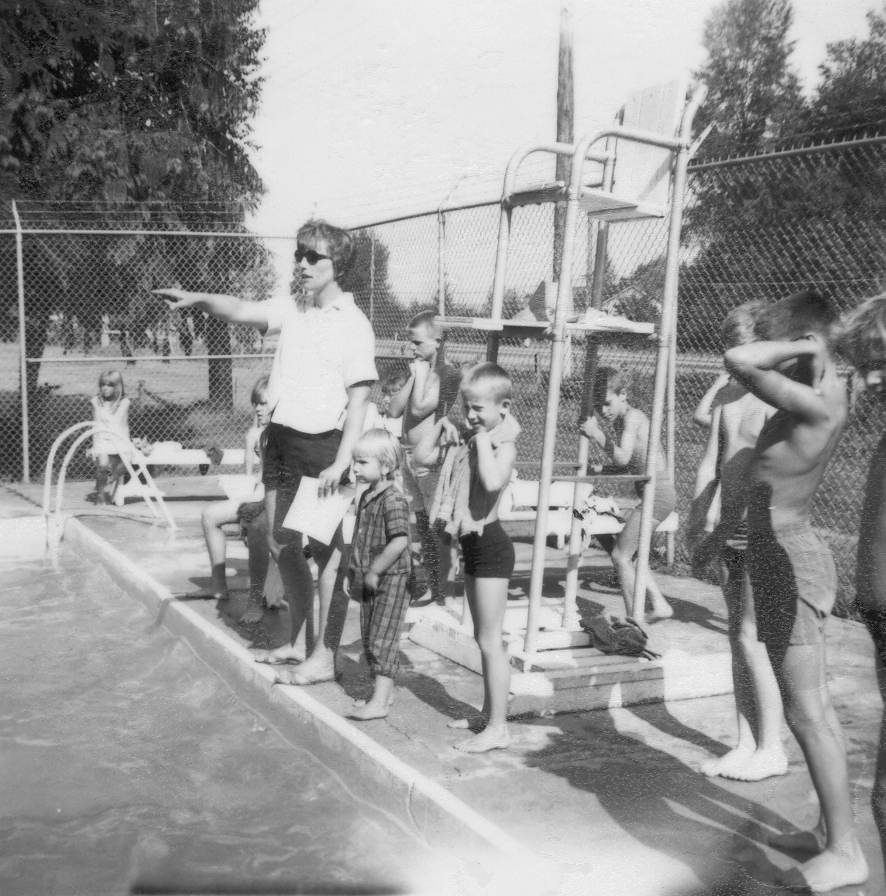
Harris Road Pool
The first photograph is the pool during its second year of operation, and you can notice Lougheed Highway as a dirt road in the background. The second photograph shows the pool in the upper right hand corner from pre-1951. The last photographs are from the Parent Teacher Association Scrapbook and feature Swim Classes from July and August 1966. In the background you can notice Lougheed Highway! It’s so quiet in comparison to today! But at least some things never change, and local children still learn to swim in that pool.
Details:
Latitude: 49.2295462884524
Longitude: -122.68668245662
Direct Link: https://www.pittmeadowsmuseum.com/locations/harris-road-pool