Hopcott Farm
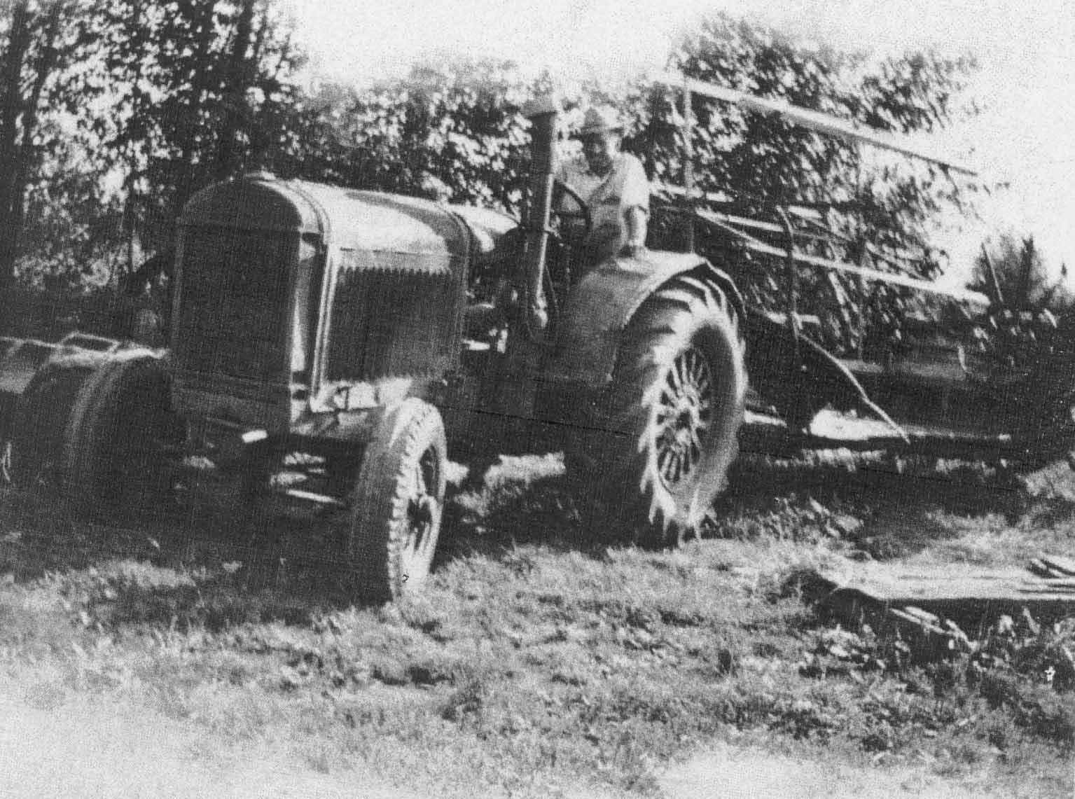
This image shows Fred Hopcott on a McCormick Deering 10 - 20 Tractor on Hopcott Farm. It is believed that this photo was taken in the 1960s.
Details:
Latitude: 49.2444162495693
Longitude: -122.71651268005
Direct Link: https://www.pittmeadowsmuseum.com/locations/hopcott-farm