Liva Farm
The location of the Liva family farm. Images taken by Erin Pasternak in 2011.
Details:
Latitude: 49.2473739527277
Longitude: -122.70099036145
Direct Link: https://www.pittmeadowsmuseum.com/locations/liva-farm
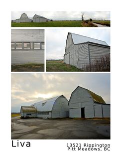
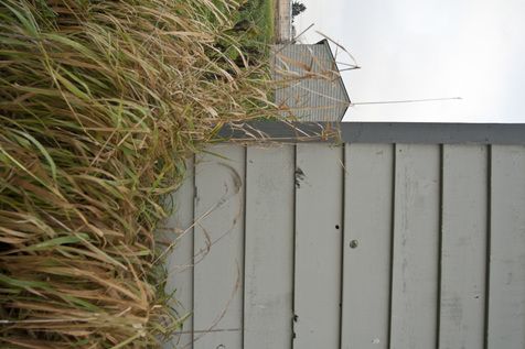
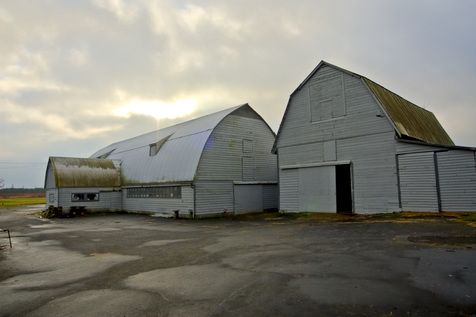
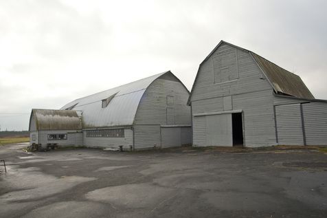
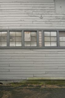
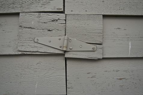

The location of the Liva family farm. Images taken by Erin Pasternak in 2011.
Details:
Latitude: 49.2473739527277
Longitude: -122.70099036145
Direct Link: https://www.pittmeadowsmuseum.com/locations/liva-farm


Welcome to the Pitt Meadows Museum and Archive's Memories Mapping Project!
Click on the map to add your history or explore what others have left.
This project funded in part by:
Government of British Columbia
BC | Canada 150 Grants