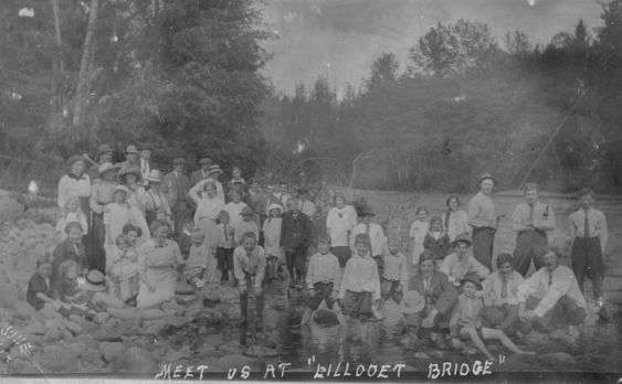
Meet us at Lillooet Bridge
This is a black and white image of a group of men, women and children on the bank of a river. The writing on the photo states "Meet us at Lillooet Bridge." Today the river is called Alouette. The photo was taken in 1914.
Details:
Latitude: 49.2641254792352
Longitude: -122.68928289413
Direct Link: https://www.pittmeadowsmuseum.com/locations/meet-us-at-lillooet-bridge