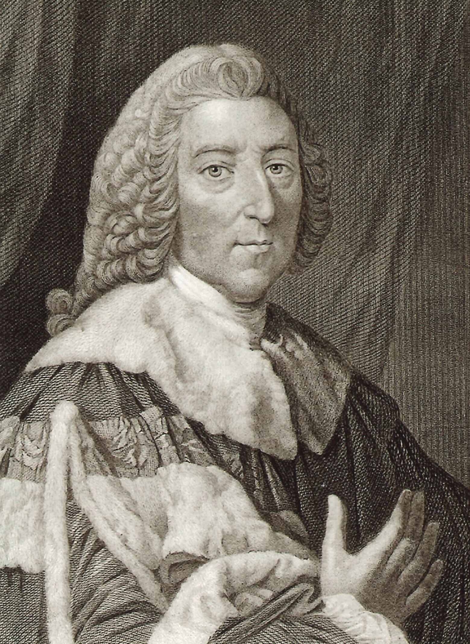
???<\/span><\/span><\/span>Pitt Lake is at the northern tip of Pitt Meadows and continues north to the delta of the Upper Pitt River. The Lower Pitt River flows out of the south end of the Lake. The River and Lake was named by the explorer James McMillan after William Pitt, the Earl of Chatham. Later the community nearby took their name (Pitt) from the river.<\/p>\r\n This image is of William Pitt, the Earl of Chatham. <\/p>","SEO_LINK":"pitt-lake","VIDEO_LINK":"","SOUNDCLOUD_LINK":"","IMG1":"1522347994_main_1pitt-lake.jpg","IMG2":"","IMG3":"","IMG4":"","IMG5":"","IMG6":"","IMG7":"","IMG1_THUMB":"","IMG2_THUMB":"","IMG3_THUMB":"","IMG4_THUMB":"","IMG5_THUMB":"","IMG6_THUMB":"","IMG7_THUMB":""}X Pitt Lake is at the northern tip of Pitt Meadows and continues north to the delta of the Upper Pitt River. The Lower Pitt River flows out of the south end of the Lake. The River and Lake was named by the explorer James McMillan after William Pitt, the Earl of Chatham. Later the community nearby took their name (Pitt) from the river. This image is of William Pitt, the Earl of Chatham.
\r\nPitt Lake
Details:
Latitude: 49.4501525663479
Longitude: -122.54425048828
Direct Link: https://www.pittmeadowsmuseum.com/locations/pitt-lake